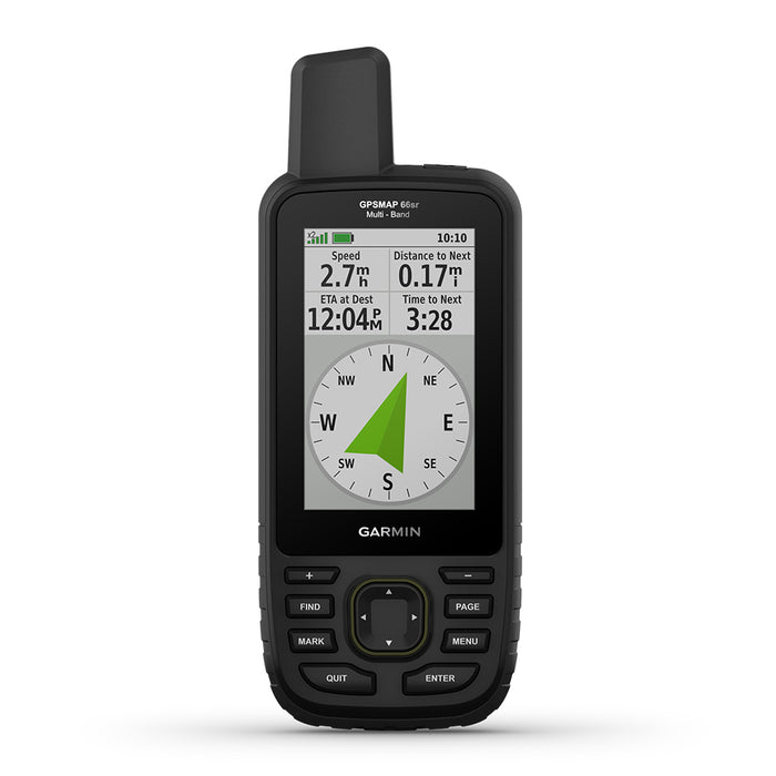
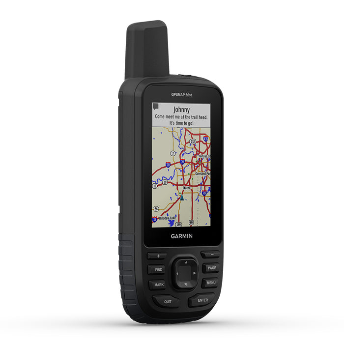
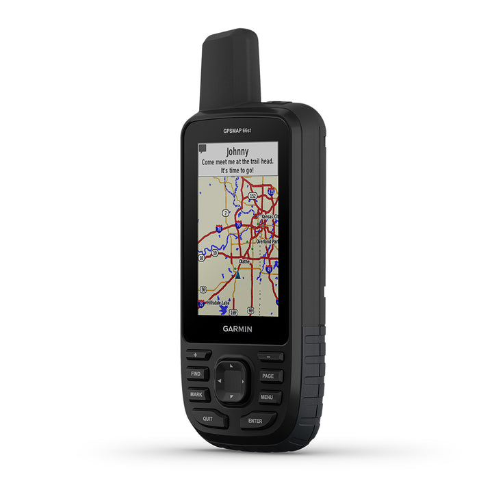
Garmin GPSMAP 66s / 66st / 66sr Handheld Hiking GPS
 PlayBetter is a trusted Authorized Dealer for this brand. All purchases are eligible for full manufacturer warranty protection.
Need Help?
Talk with an expert Need expert advice?


Garmin GPSMAP 66s / 66st / 66sr Handheld Hiking GPS
 PlayBetter is a trusted Authorized Dealer for this brand. All purchases are eligible for full manufacturer warranty protection.
Need Help?
Talk with an expert Need expert advice?

Embrace outdoors with the Garmin GPSMAP 66 Series that offers ABC sensory, satellite imageries, and more
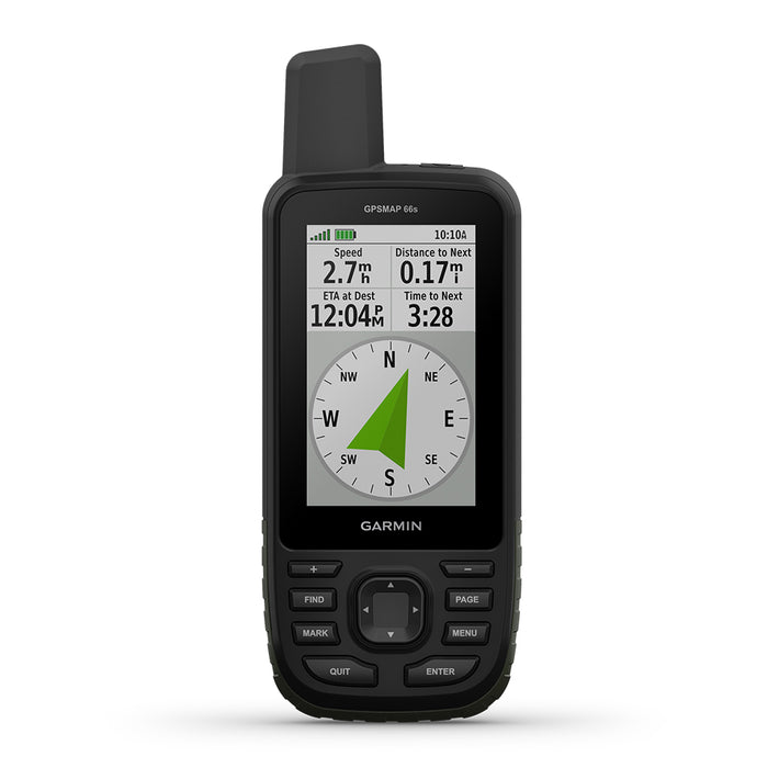
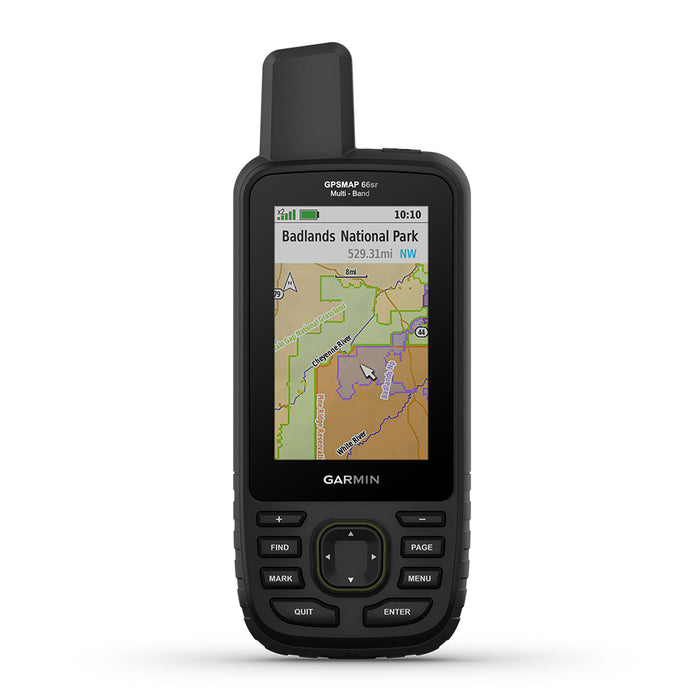
Discover new wonders with the GPSMAP 66 series hiking GPS handhelds offering a 3" color display, multi-GNSS support, and powerhouse ABC sensors (altimeter, barometer, and 3-axis electronic compass). Get full access to BirdsEye Satellite Imagery plus direct-to-device downloads, Active Weather, and Geocaching Live.
PRODUCT DETAILS
Get Your Bearings
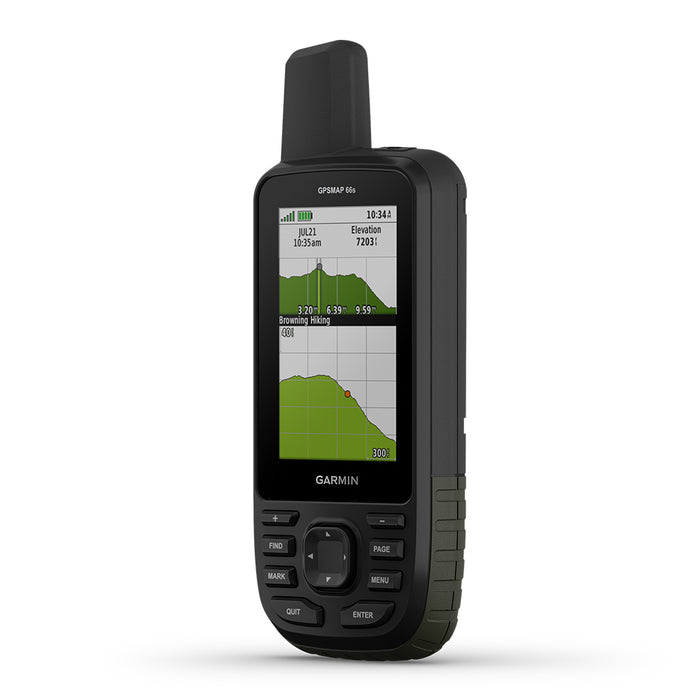
In addition to multi-GNSS support, the GPSMAP 66 series provides ABC (altimeter, barometer, and compass) sensor capabilities to track your journey. The built-in altimeter provides elevation data to accurately monitor ascent and descent, while the barometer can be used to predict weather changes by showing short-term trends in air pressure. The three-axis electronic compass keeps your bearing whether you’re moving or not.
See Where You’re Headed
Get a better picture of your location with high-resolution photo-realistic views of your route, thanks to direct-to-device downloads of BirdsEye Satellite Imagery — without an annual subscription.
Share and Compete
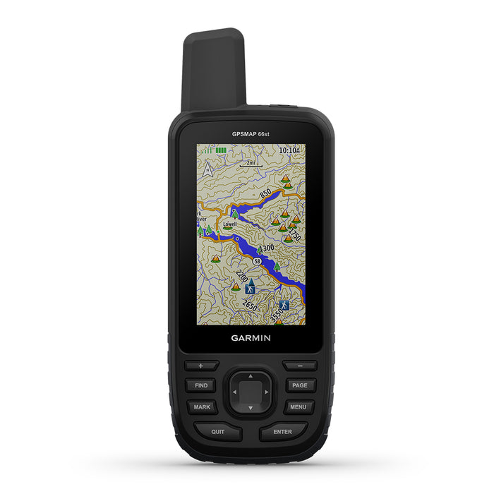
Plus, GPSMAP 66st comes preloaded with TOPO U.S. and Canada maps. You’ll see every hill and valley, with more detail than ever — including terrain contours, topographic elevations, summits, parks, coastlines, rivers, lakes and geographical points.
Explore with Garmin
Even when you’re offline and have no cell service, the GPSMAP 66 series pairs with the Garmin Explore mobile app to let you plan, review and sync data, including waypoints, routes and tracks. Plus, you can review completed activities while still in the field, even when you’re off the grid. Once you’re home again, plan for future trips and review previous activities from the Garmin Explore website.
FEATURES/SPECS
- **For GPSMAP 66s & 66st** Access multiple global navigation satellite systems (GPS, GLONASS, and Galileo)
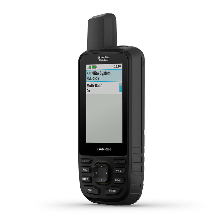
- **For GPSMAP 66sr** Access multiple global navigation satellite systems (GPS, GLONASS, GALILEO, and QZSS) & multi-band frequency support
- **For GPSMAP 66sr & 66st** Preloaded TopoActive U.S. and Canada maps
- **For GPSMAP 66sr** Optional display of federal public land boundaries on topographical maps
- **For GPSMAP 66s & 66st** Get up to 16 hours of battery life in GPS mode and 1 week in Expedition mode (with 2 AA batteries).
- **For GPSMAP 66sr** Internal Lithium-ion rechargeable battery provides up to 36 hours of battery life in GPS mode and up to 3 weeks in Expedition mode.
- Built to military standards for thermal, shock, and water performance (MIL-STD-810)
- The GPSMAP 66 series helps you keep gear to a minimum with a built-in LED flashlight
- Navigate every trail with ABC sensors, including an altimeter for elevation data, a barometer to monitor the weather, and 3-axis electronic compass
- Download high-resolution BirdsEye Satellite Imagery directly to your device without an annual subscription
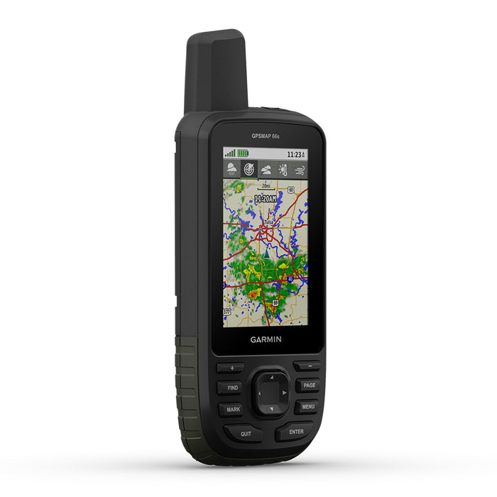
- Get real-time forecast information and live weather radar
- Plan, review, and sync waypoints, routes, and tracks by using the Garmin Explore app and website
- Preloaded Wikiloc trails app lets you easily download hiking, cycling, and other Wikiloc trails shared by outdoor enthusiasts like you.
WHAT’S IN THE BOX
GPSMAP 66s / 66st / 66sr Handheld Only
- GPSMAP 66s / 66st / 66sr Hiking Handheld
- Access to Birdseye Satellite Imagery
- Carabiner Clip
- USB Cable
- Documentation
Model: 010-01918-00
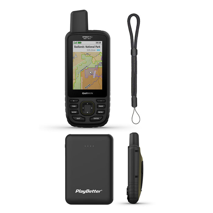
GPSMAP 66s / 66st / 66sr Hiking Armor Bundle also includes
- PlayBetter HD Screen Protectors (3-Pack)
- PlayBetter Protective Silicone Case (Black)
- PlayBetter GPS Tether Lanyard (Black)
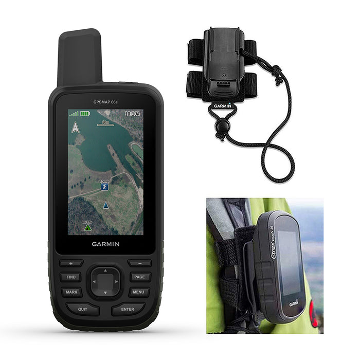
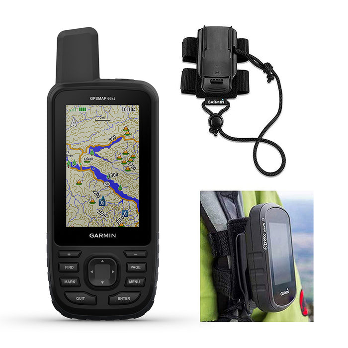
GPSMAP 66s / 66st / 66sr Backpack Tether Bundle also includes
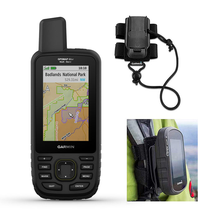
- Garmin Hiking Backpacker Tether


